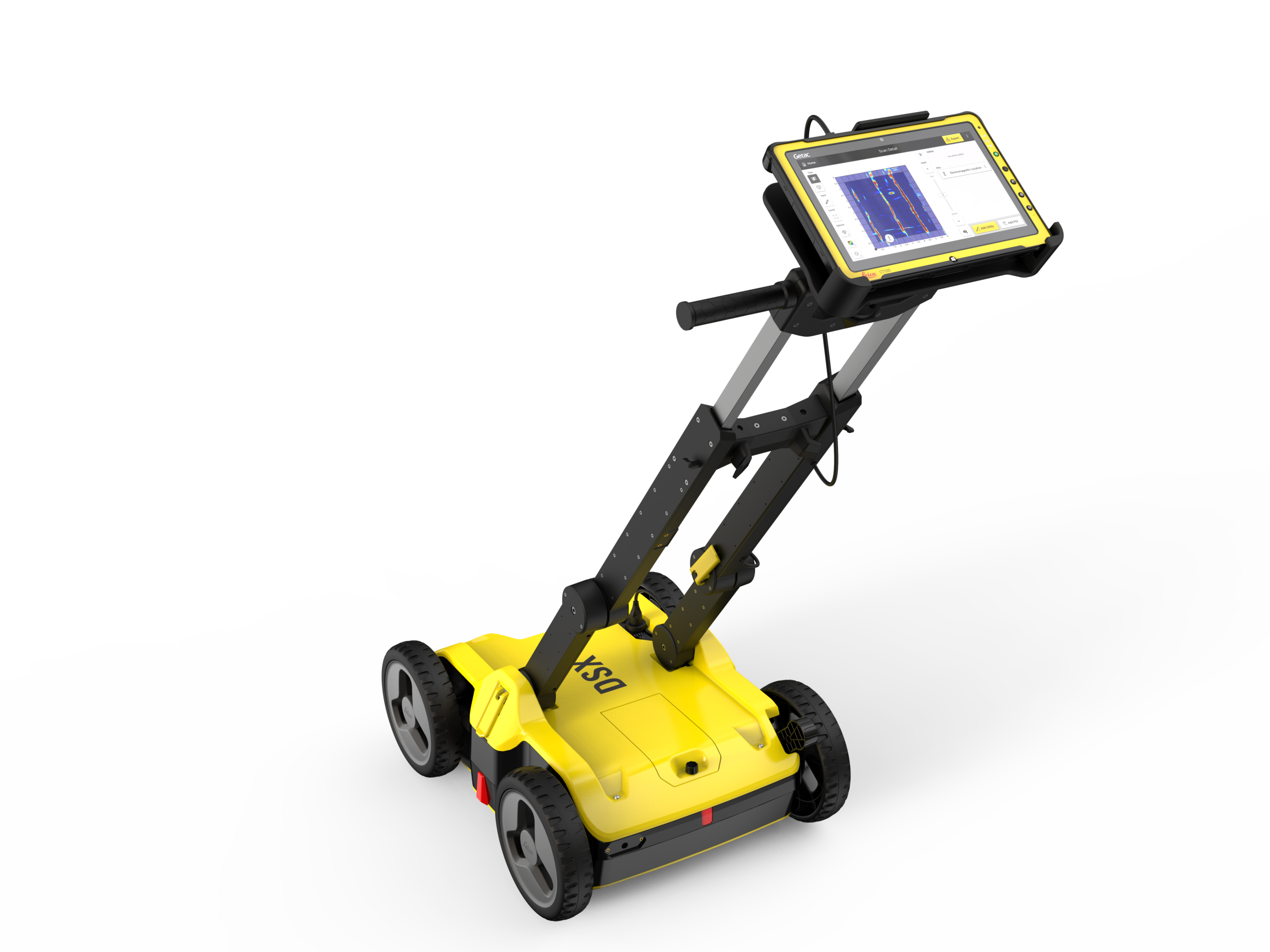
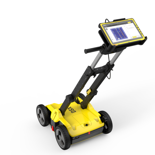
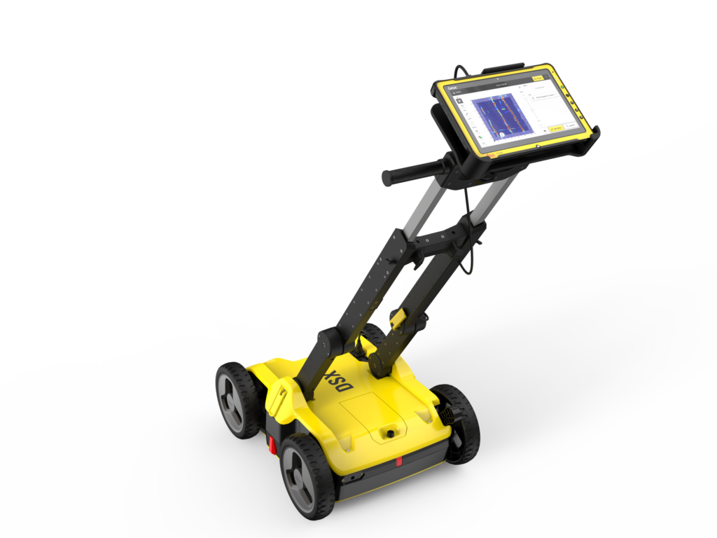
A simplified, high-precision GPR solution that converts complex radar data into a 3D utility map on-site. Built for surveyors and civil engineers, it eliminates the need for expert data interpretation, allowing for faster and safer utility detection in the field.
Automated On-Site Analysis: Employs cutting-edge DXplore software to automate data processing and generate instant 3D utility tomography directly in the field.
High-Resolution Subsurface Detection: Uses a specialised 600 MHz antenna to reliably identify both conductive and non-conductive underground utilities down to a depth of 2 meters.
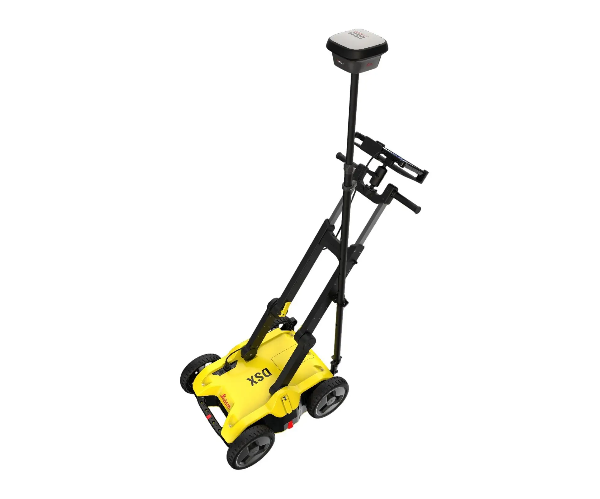
Seamless Positioning Sensor Integration: Pairs directly with survey-grade Leica GNSS/GPS antennas or total stations to construct highly accurate, georeferenced maps.
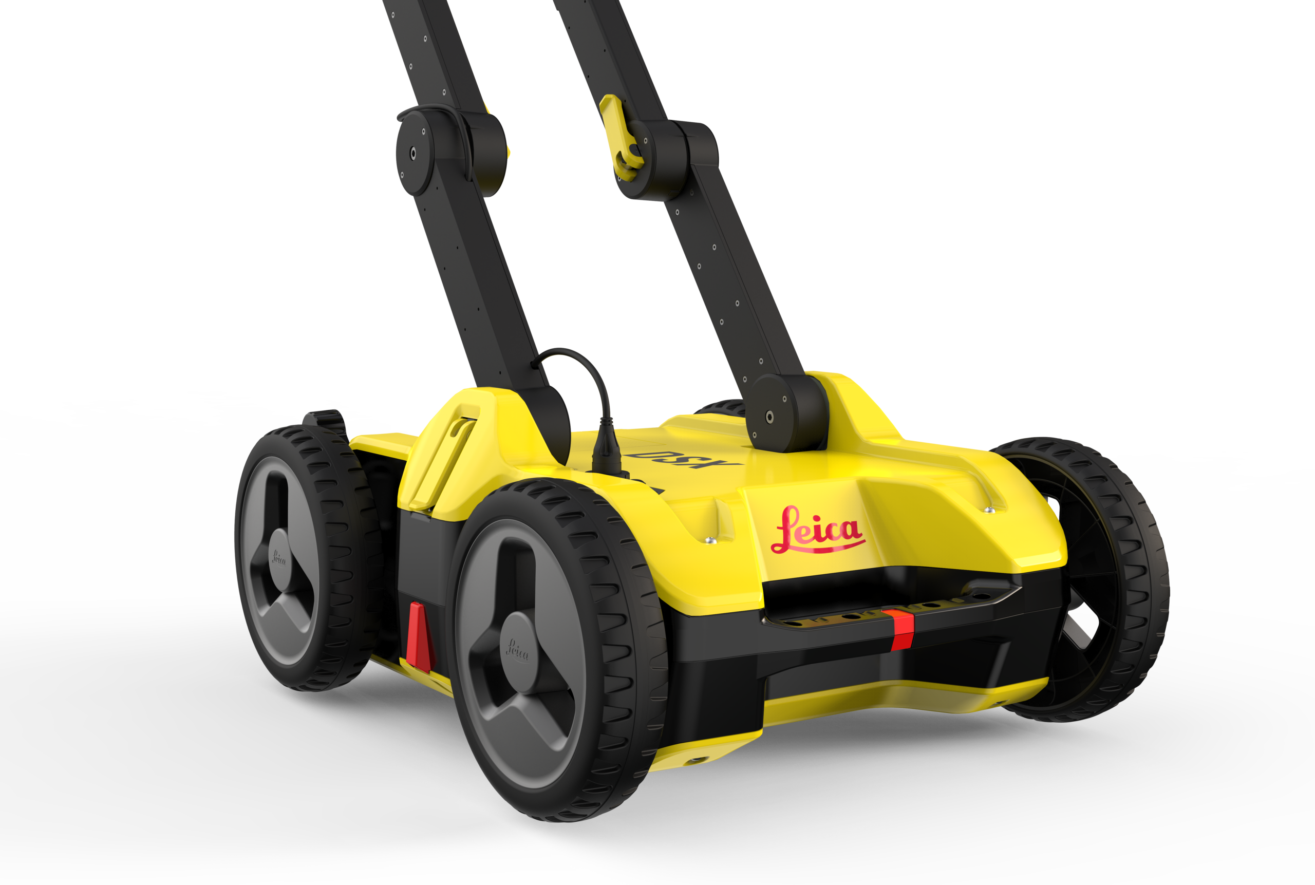
Ruggedized All-Terrain Cart: Features a compact, IP65-rated weatherproof chassis equipped with internal wheel encoders to ensure precise distance tracking across challenging jobsites.
How does the DSX differ from traditional GPR systems?
Traditional GPR requires an expert to interpret complex hyperbolas. The DSX uses smart software to automate this, presenting surveying companies and civil engineers with a clear, colour-coded 3D map of underground assets directly on the screen.
Do I need a specific qualification to operate the Leica DSX?
Yes. While we provide product familiarisation on hire, the equipment must be used by a competent operator. In the UK, it is recommended that operators hold a ProQual Level 3 or 5 Certificate in Utility Mapping and Surveying to ensure professional standards.
Is it suitable for detecting non-metallic pipes?
Yes. Unlike standard cable avoiders, the DSX radar technology can detect both metallic and non-metallic utilities, including plastic, fibre optics, and concrete pipes, essential for utility companies managing modern infrastructure.
How deep can the Leica DSX detect utilities?
Under typical soil conditions, the DSX can detect assets at depths of up to 2 metres. The actual depth depends on ground conductivity, which the system helps you calibrate during the initial scan.
Can I export the data to CAD or BIM software?
Absolutely. Surveying companies can export georeferenced utility maps in standard formats for seamless integration into design and engineering software, ensuring all civil engineering stakeholders have accurate site data.
Does it require a GPS connection to work?
While the DSX can perform basic scans without it, connecting a GNSS antenna allows civil engineers to map utilities in real-world coordinates, which is the standard requirement for professional utility surveys.
How portable is the unit for field use?
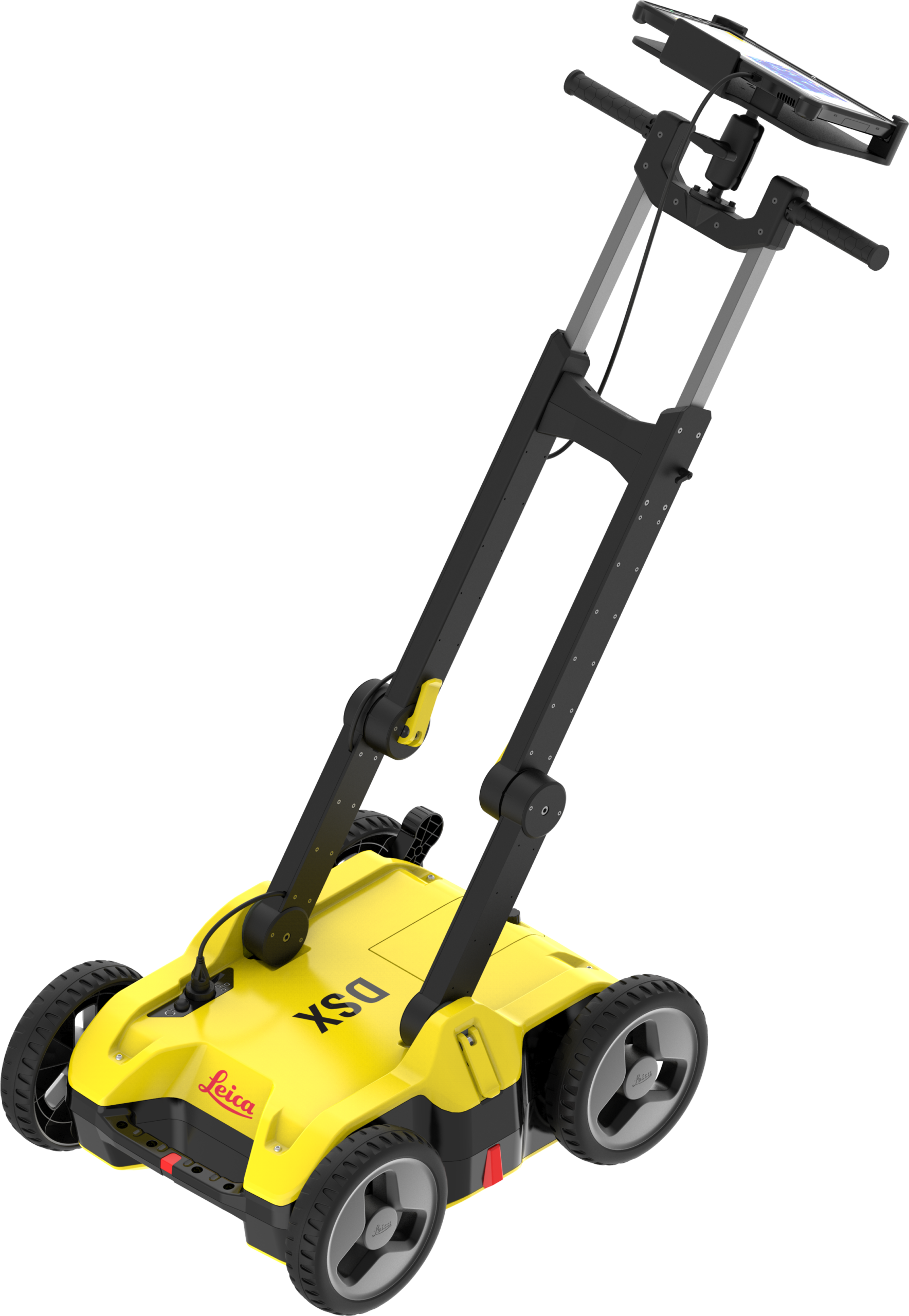
The DSX features a lightweight, foldable trolley design. This makes it easy for utility contractors to transport between sites and deploy quickly in the field without needing a large van or multiple technicians.
Can it be used on rough terrain?
The DSX is designed for relatively flat surfaces like roads, pavements, and levelled civil engineering sites. For extremely overgrown or rugged off-road areas, we can suggest alternative mounting options or sensors.
What is the battery life for a full day of surveying?
The system uses standard Leica batteries that provide approximately 8 hours of continuous use. We can provide additional battery packages with your hire to ensure zero downtime during long utility mapping shifts.
Do you offer flexible hire periods and installation?
Yes. We provide flexible hire options for surveying and utility companies, from short-term project needs to long-term infrastructure contracts. Our team can also assist with the initial site setup and equipment calibration.