

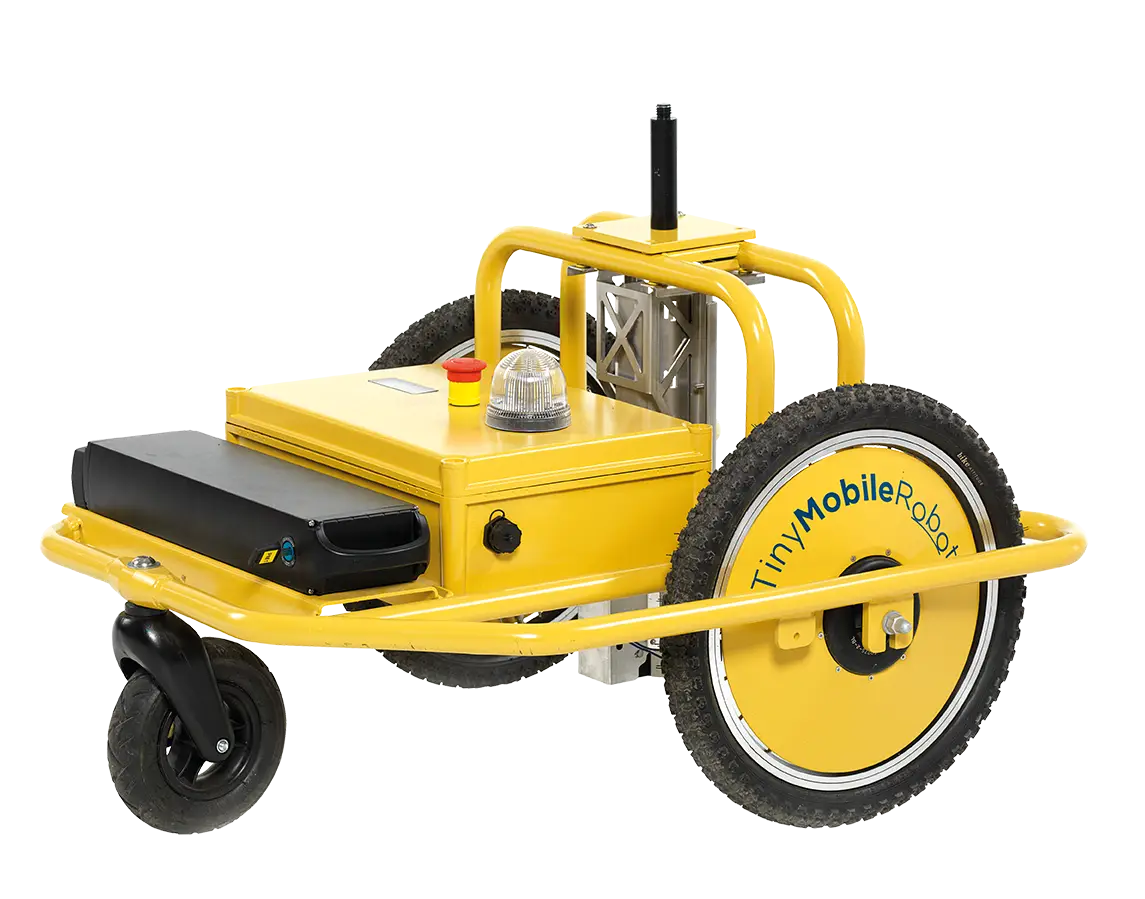



For civil engineering projects and large-scale surfacing works, the TinySurveyor (Terra) removes the bottleneck of manual staking. By uploading a DXF file, the robot autonomously navigates the site, marking points, lines, and text directly onto the surface. This "fit-and-forget" solution ensures that road marking companies can complete days of work in a matter of hours, maintaining constant accuracy without the risk of human error. The Terra model is engineered for the rigours of the construction site, featuring big-wheel capability for navigating uneven ground and a versatile spray-can mounting system. Because it interfaces directly with your existing GNSS/RTK rovers, it fits seamlessly into your current workflow. Whether you are marking out piling locations or sports field boundaries, the TinySurveyor provides a high-speed, cost-effective alternative to traditional site mobilisation.