
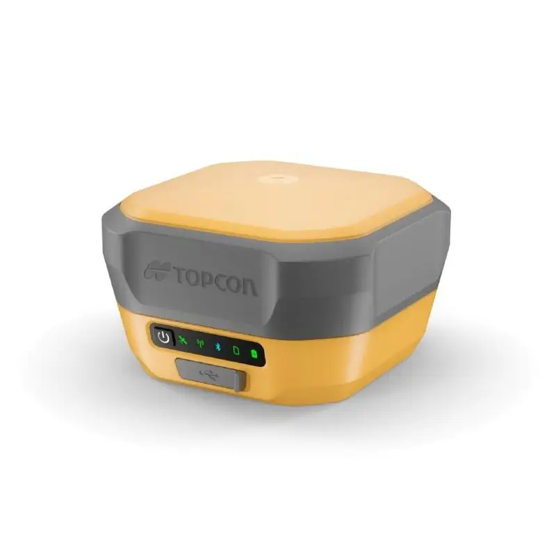
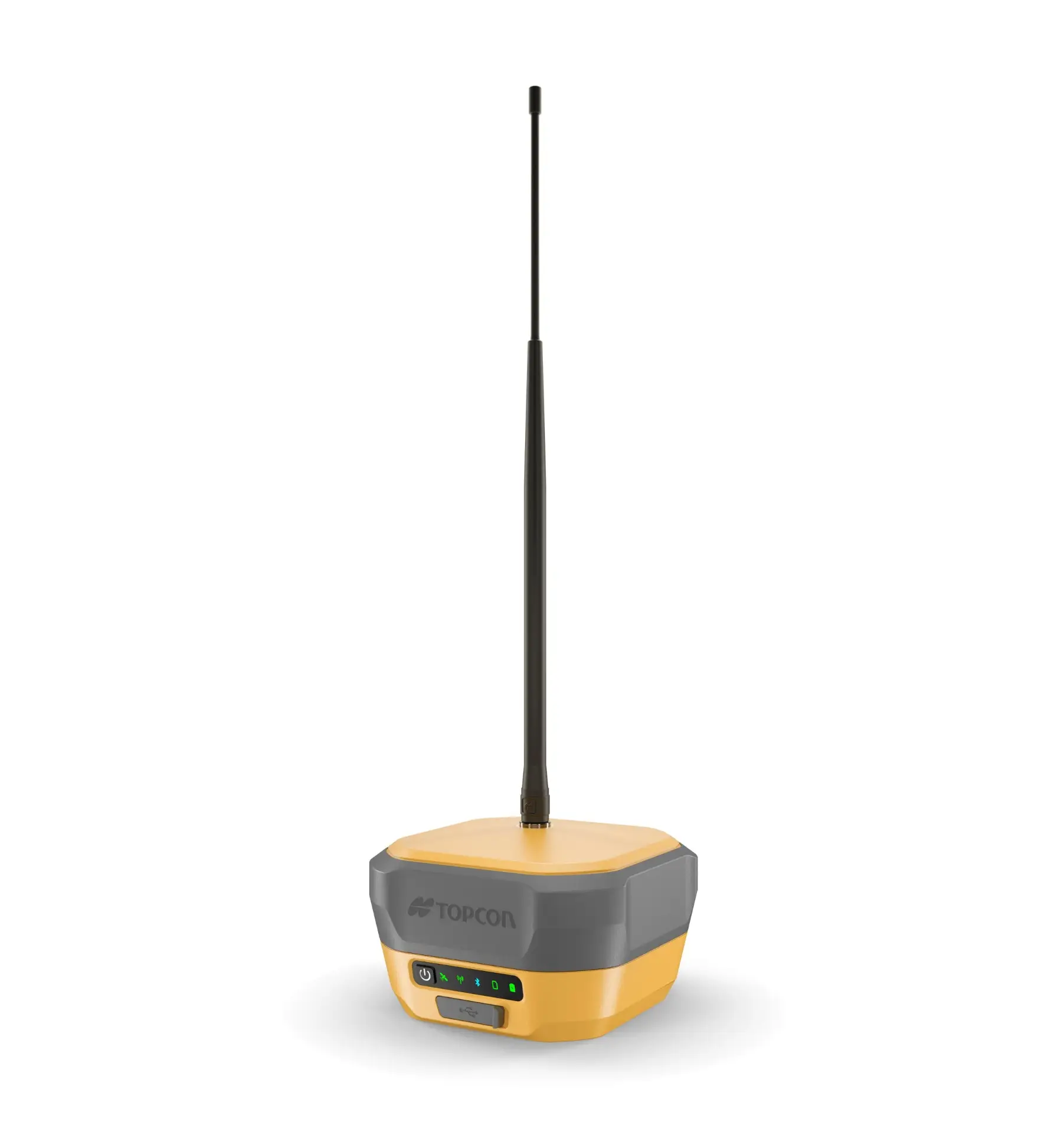
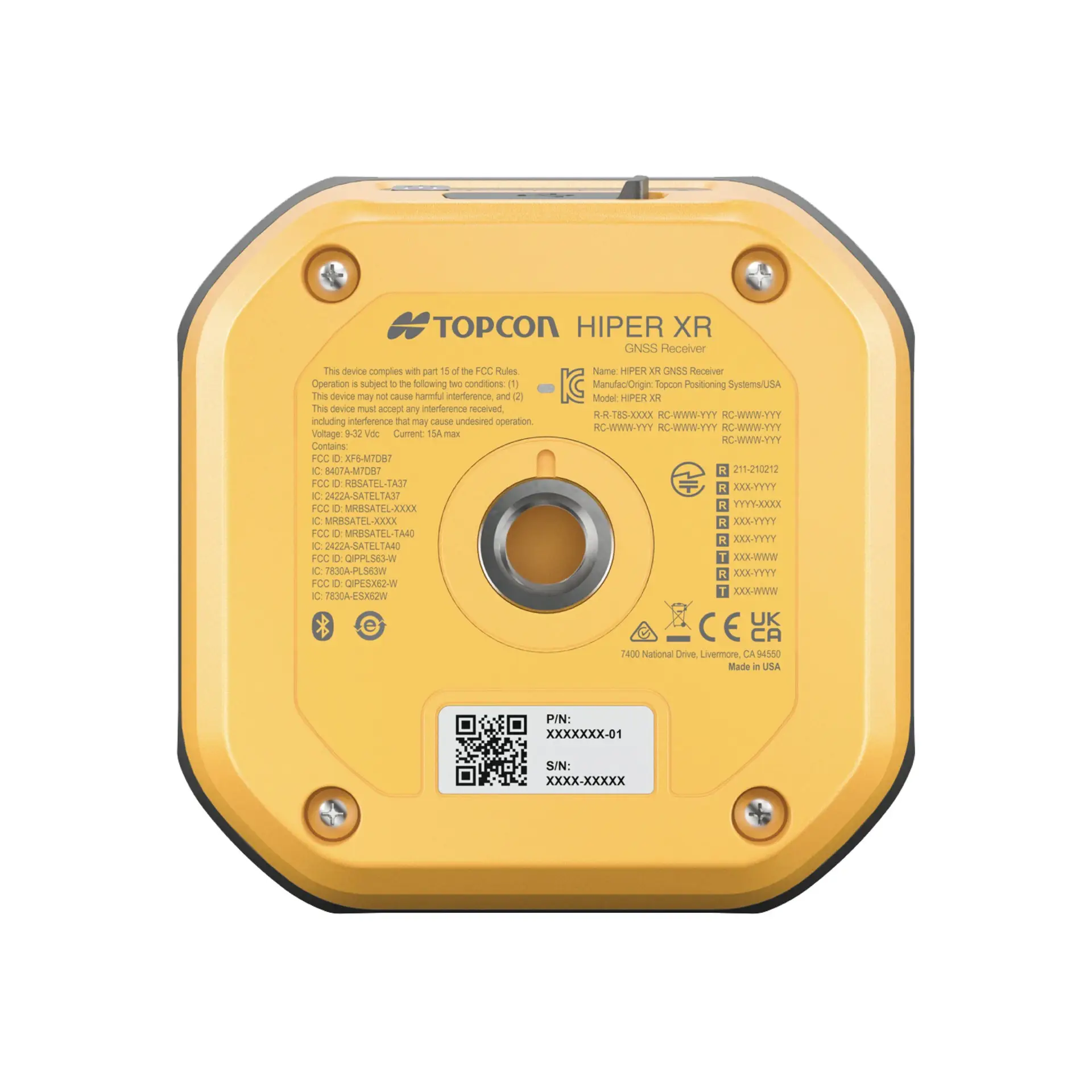



The Topcon HiPer XR GNSS Receiver is engineered for users who demand resilient and precise positioning across a wide range of surveying and construction workflows. Built on the latest GNSS platform from Topcon, it supports all major satellite constellations - including GPS, GLONASS, Galileo, BeiDou, QZSS, IRNSS and SBAS to deliver consistent accuracy and robust signal reception even in areas with limited sky visibility. A standout feature of the HiPer XR is its calibration-free TILT compensation system, which incorporates an integrated inertial measurement unit (IMU) that remains immune to magnetic interference. This allows operators to perform precise measurements with significant pole tilt up to around 60 degrees without needing time-consuming calibration on site. The receiver also employs anti-jamming and anti-spoofing technology, helping preserve signal integrity in environments prone to interference, while a compact, lightweight and rugged housing ensures durability on busy jobsites. With flexible correction connectivity options - including Bluetooth, LongLink™, 4G cellular, Wi-Fi and optional UHF radio the HiPer XR can be configured as a base, rover or hybrid solution to suit different project needs. Other practical design features include USB-C power and data connectivity, long internal battery life for extended field use, and an integrated web interface that simplifies setup and configuration without extra software. Combined, these capabilities make the HiPer XR a versatile and dependable option for professionals carrying out RTK survey control, topographic data collection, construction layout and network positioning across demanding sites. When combined with a robotic total station like the Topcon GT‑705, the HiPer XR becomes part of a hybrid positioning system, enhancing field productivity and flexibility. Pairing GNSS position data from the HiPer XR with the optical tracking and prism lock of a GT‑705 enables your team to switch smoothly between satellite‑based measurements and robotic total station observations depending on site conditions. This hybrid workflow accelerates setup and reduces the number of tripod positions required, helps reacquire targets in areas with limited line‑of‑sight such as behind structures or vegetation and can simplify resection and control network establishment. Using MAGNET Field software, the two systems work together to capture accurate coordinate data reliably and with fewer interruptions than standalone optical or GNSS systems alone.
