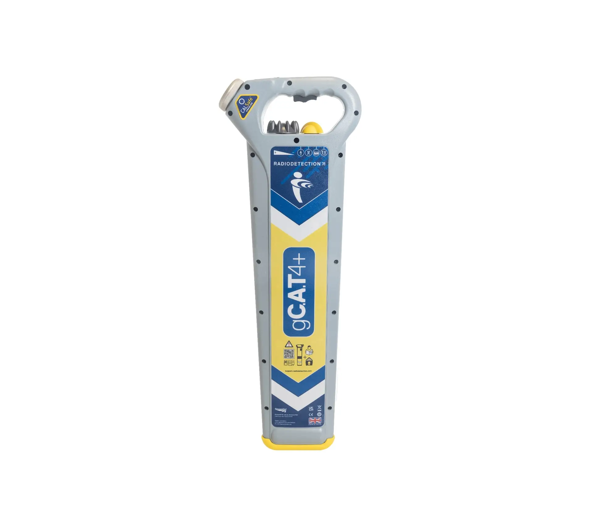
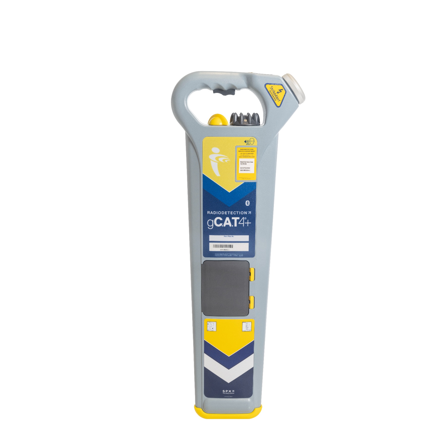
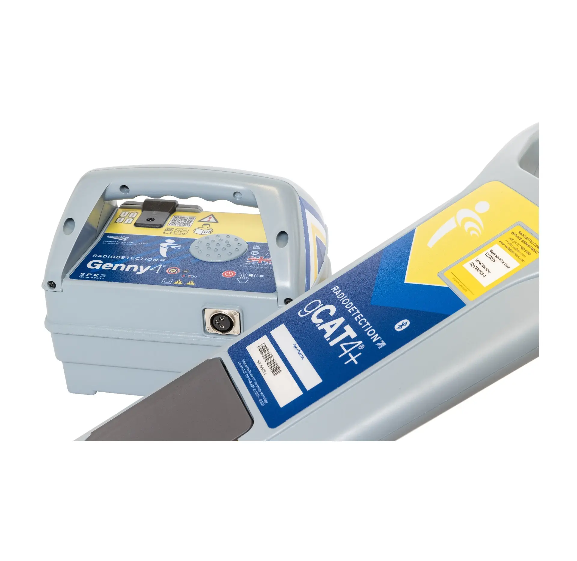
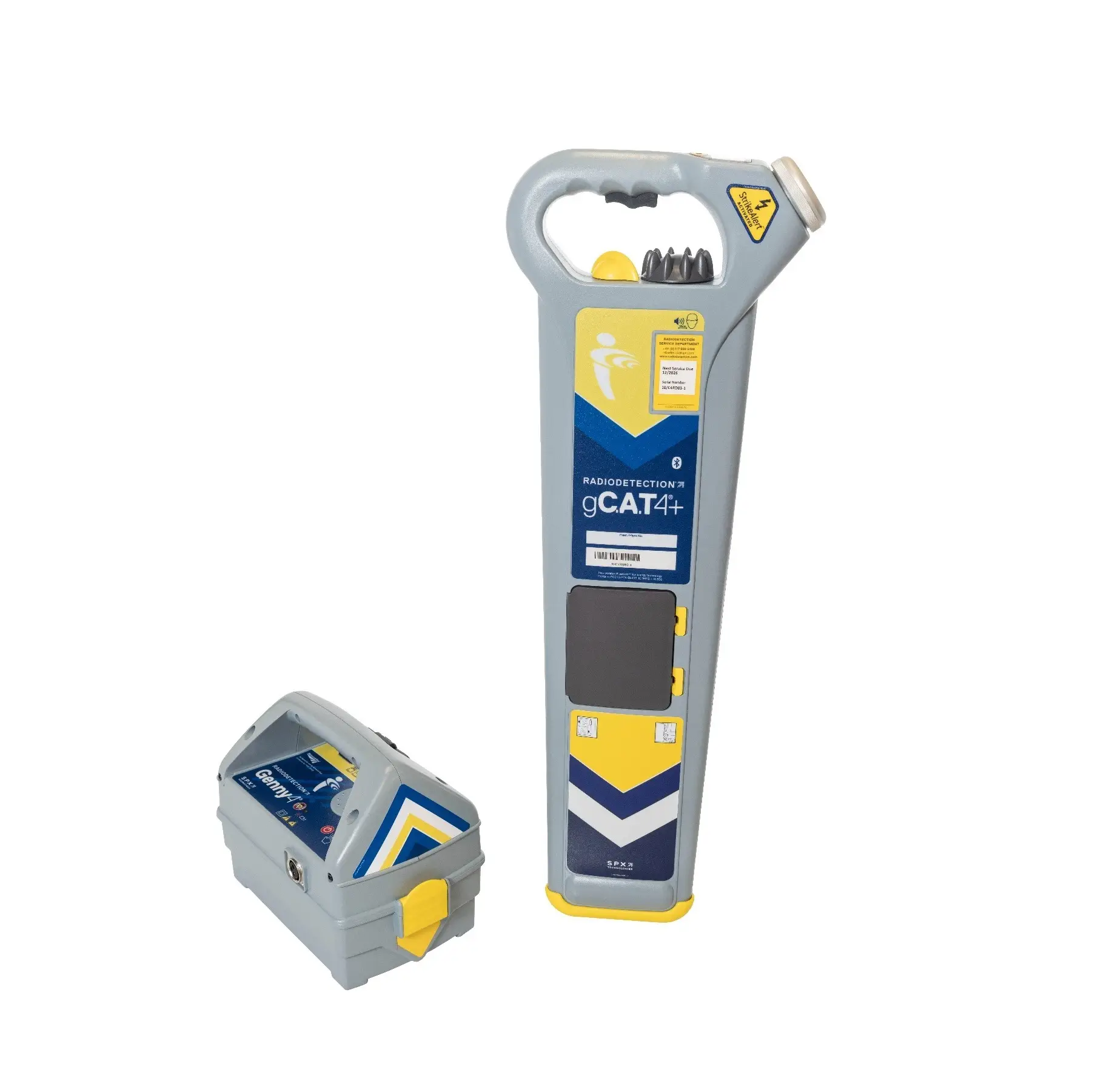
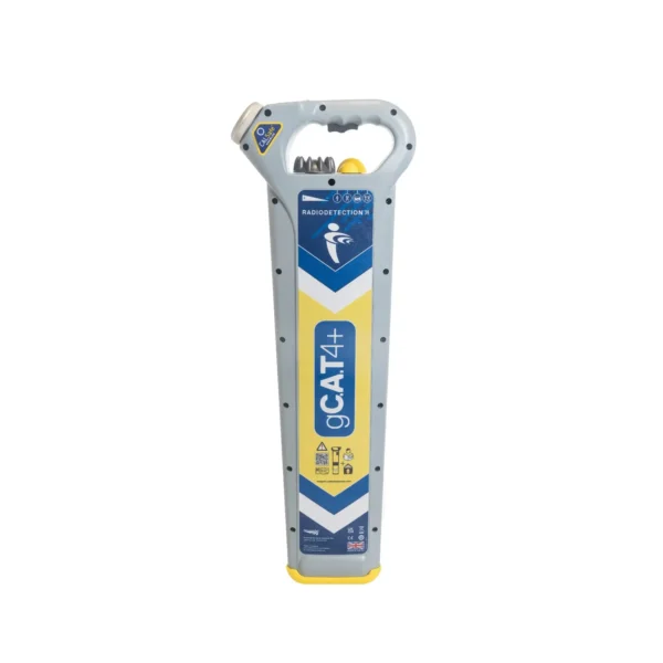
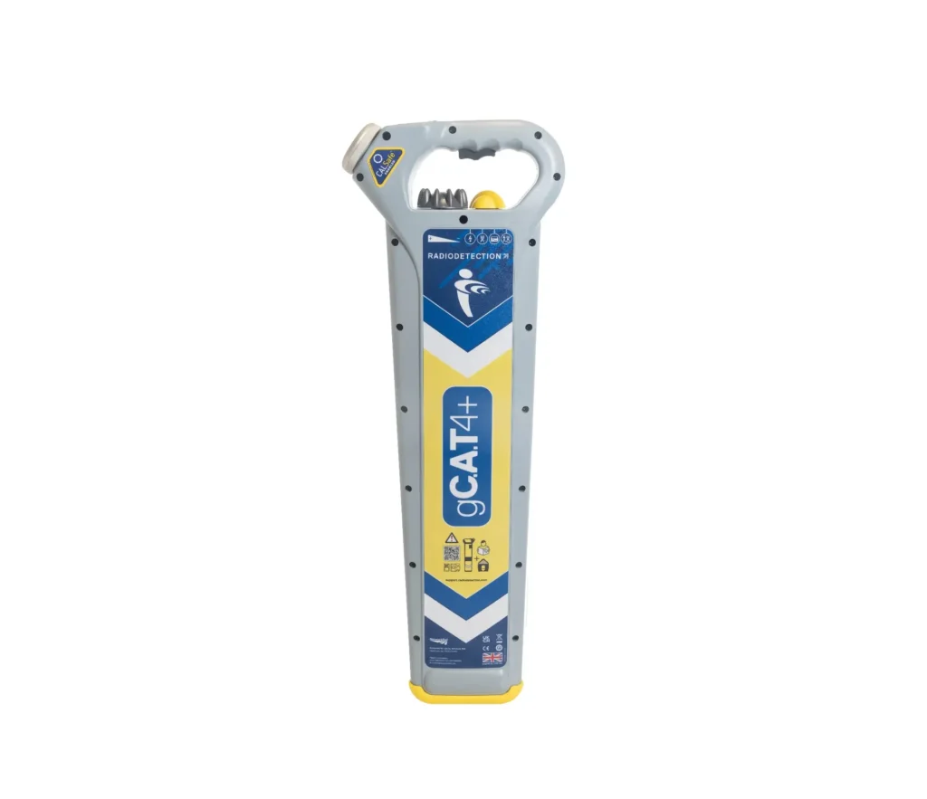
The Radiodetection gCAT4+ is an intelligent utility locator featuring integrated GPS and internal data logging. It records how, when, and exactly where a survey was performed, allowing for detailed compliance reporting. Alongside depth estimation and StrikeAlert, it includes a SWING warning sensor to promote correct operator technique and is fully compatible with the C.A.T Manager Online cloud system.
Integrated GPS Tracking: Logs structural geographic location coordinates automatically every second to verify physical survey coverage map data.
Internal Data Logging: Stores over a year of comprehensive usage metrics to track safety compliance and operator field patterns.
Bluetooth Data Transfer: Pairs wirelessly with mobile hardware to upload critical field logs directly back to the management office.
Service Due Indicator: Displays a clear visual countdown on startup to remind the survey team of mandatory annual calibration dates.
What is the difference between the CAT4+ and the gCAT4+ model?
The gCAT4+ model adds integrated GPS/GNSS position tracking and internal data logging, automatically recording exactly where, when, and how the tool was used on site.
Can we hire this unit for short-term projects?
Yes, the gCAT4+ is available for flexible short-term or long-term hire, providing a cost-effective way to utilize premium safety tracking on your current project.
How does the data logging feature improve site safety?
Management can download the logged data to review utility sweeping quality, checking if operators used the correct modes and if they responded properly to StrikeAlert warnings.
What is the maximum depth the gCAT4+ can record?
The digital depth indicator can accurately measure the depth of buried utilities down to 5 metres, or up to 7 metres when tracking a sonde.
What is the purpose of the StrikeAlert safety feature?
It provides an instant visual and audible warning if a shallow power cable is detected within 0.3 metres of the surface, minimizing utility strike risks.
Can it track utilities without using a Genny signal generator?
Yes, it features passive Power and Radio modes for live cables, though using the Genny4 signal generator is required for active depth readings and tracking specific lines.
What power source does the gCAT4+ utilize?
The locator operates efficiently on two standard D-cell alkaline batteries, which deliver approximately 30 hours of intermittent field operational use.
How do I download the stored location and usage data?
The data can be transferred wirelessly via Bluetooth or through a USB cable using Radiodetection’s free CAT Manager PC or mobile software.
How often does this locator require calibration verification?
The gCAT4+ requires calibration every 12 months, and its internal system will display a warning countdown screen when the service deadline approaches.
What does the dynamic overload protection filter do?
It automatically screens out heavy electrical interference from overhead lines or rail tracks, allowing the sensor to maintain accurate tracking on the ground.