The UK's Largest Independent Survey & Safety Supplier

03300 245 125

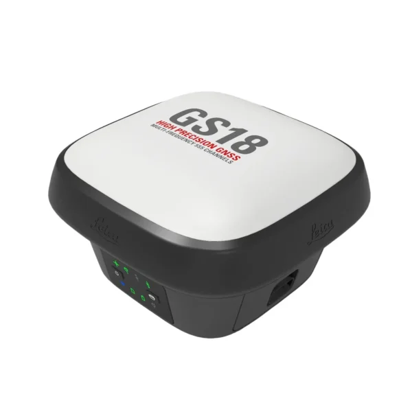
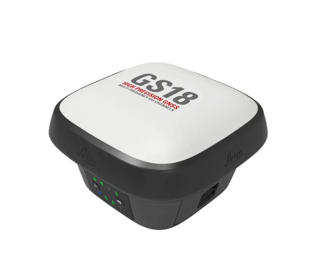
Leica GS18T

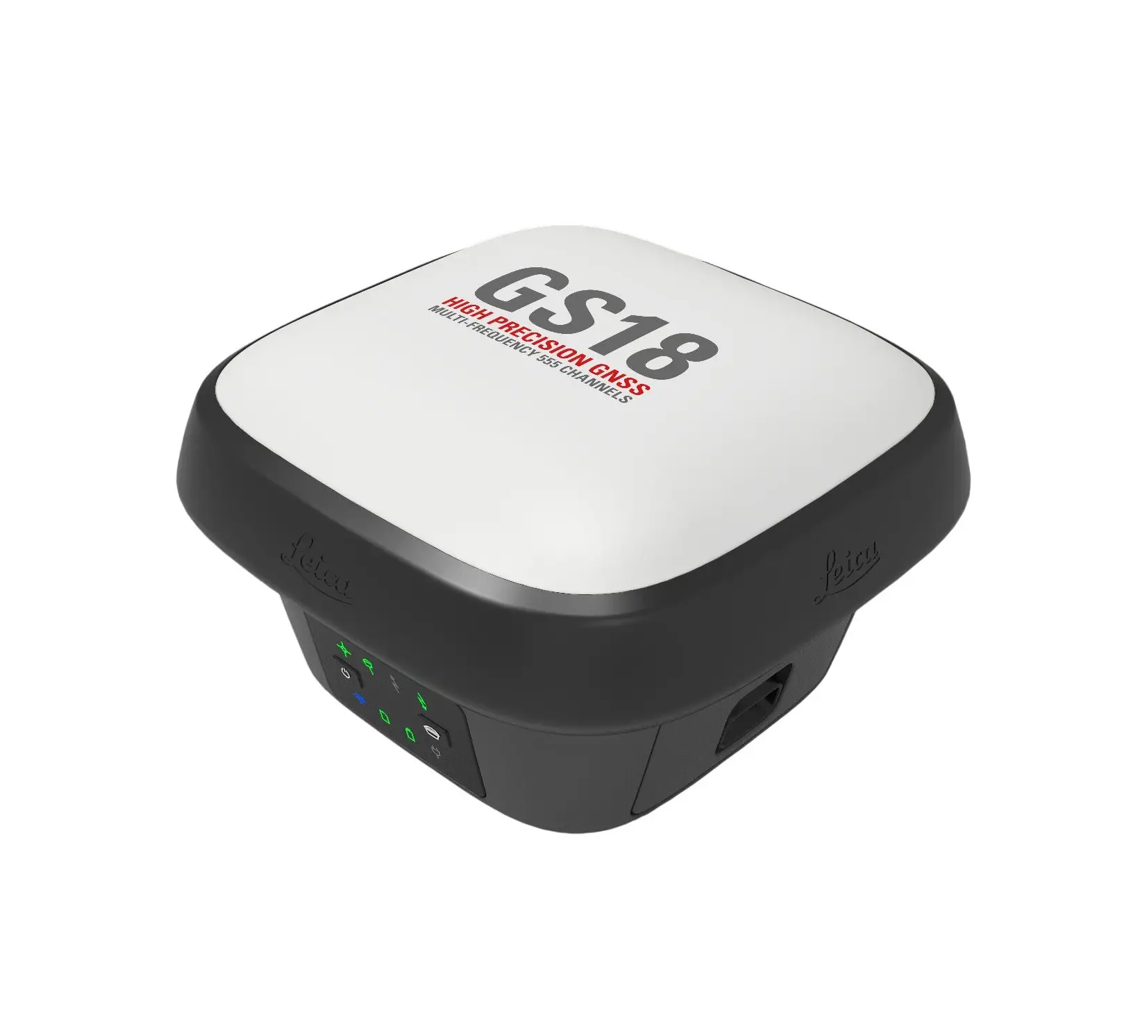
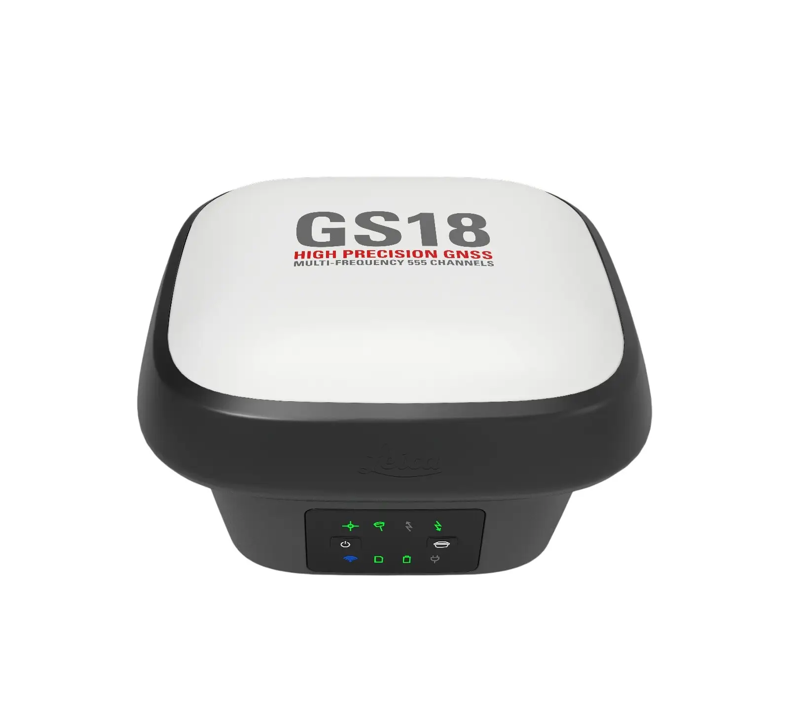
The Leica GS18T is a high‑performance GNSS RTK rover designed for fast, reliable positioning on surveying, construction and engineering projects. With advanced tilt compensation and robust connectivity, it delivers accurate 3D positioning without the need to level the rover pole manually.

  • Calibration-Free Tilt Compensation allows you to measure and stake out points with an angled pole without any magnetic interference or setup delays.
  • IMU-Based Technology provides a maintenance-free solution that is significantly more reliable and faster than traditional compass-based tilt sensors.
  • Full Constellation Tracking ensures the unit connects to GPS, GLONASS, Galileo, and BeiDou for the best possible positioning in difficult environments.
  • Rugged IP68 Design guarantees the sensor is completely waterproof and dust-tight to withstand the harshest British site weather.

Enquire about hiring or buying this product. You’ll be contacted by one of our Sales Team.

Adding one of these to your enquiry?

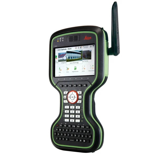
Leica CS20 Controller

Leica CS20 Controller

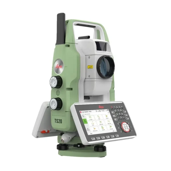
Leica TS20

Leica TS20

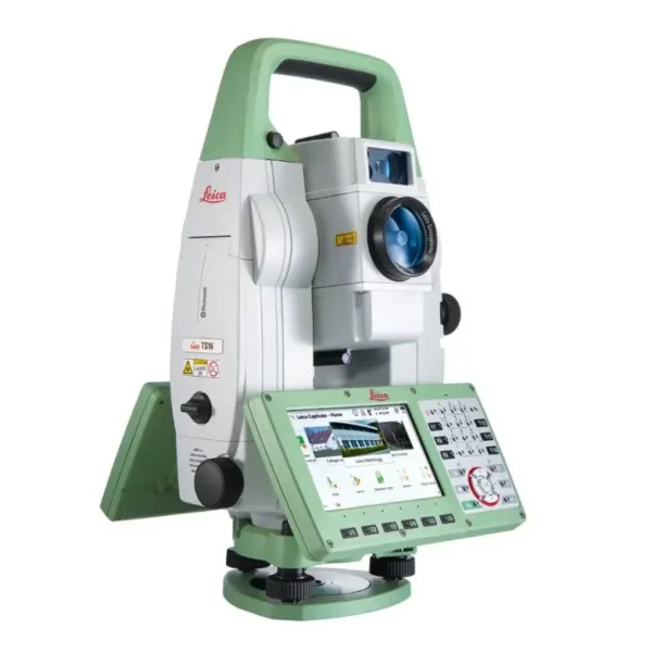
Leica TS16

Leica TS16

FAQs

Leica GS18T
What makes the “T” in GS18 T so significant?
The “T” stands for Tilt. Unlike older GNSS rovers that used magnetometers, the GS18 T uses a high-performance Inertial Measurement Unit (IMU). This makes it the first rover completely immune to magnetic disturbances and requires no on-site calibration, allowing you to forget the bubble and start measuring immediately.
Leica GS18T
How much time can I really save by not levelling the pole?
Field tests show an average productivity increase of 20%. Because you no longer need to centre a physical bubble for every point, you can simply “touch and go.” This speed is most noticeable during large topographic surveys and complex stakeouts where every second saved per point adds up.
Leica GS18T
Can I use the GS18 T near iron fences or reinforced concrete?
Yes. Since the GS18 T relies on an IMU rather than a compass-based magnetometer, it is not affected by metal. You can measure points directly against steel sheet piling, next to parked vehicles, or on reinforced concrete slabs without loss of accuracy or the need for recalibration.
Leica GS18T
What is the maximum tilt angle allowed?
Accuracy is highest when the pole is relatively vertical, but the GS18 T can accurately compensate for tilt angles of 30° and beyond. While there is no “hard limit” as long as satellites are tracked, most professionals find 30-45° the practical limit for maintaining millimetre precision.
Leica GS18T
How does the GS18 T work as a “Hybrid” package?
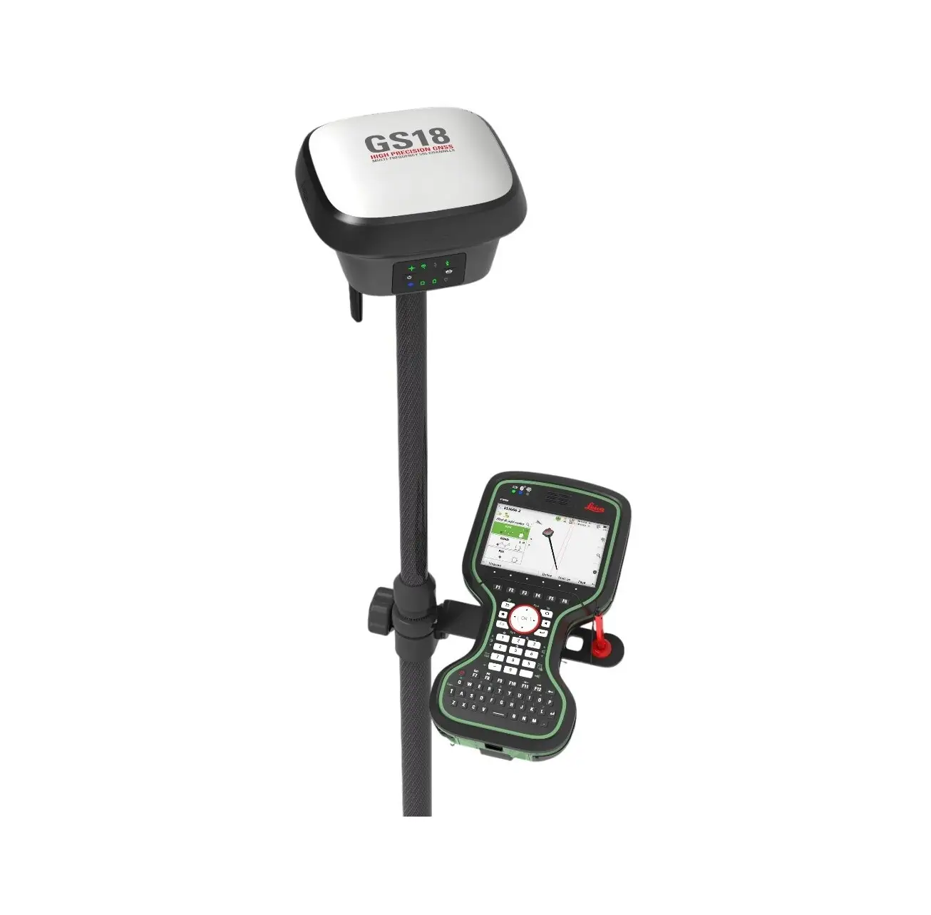
The GS18 T is the perfect partner for a Leica robotic total station in a SmartPole setup. By mounting it on top of a 360° prism, the Leica Captivate software combines optical and GPS data. If you lose line-of-sight to the total station, the system automatically switches to the GS18 T.
Leica GS18T
What is the difference between the GS18 T and the GS18 I?
The “T” model focuses on Tilt compensation, while the GS18 I adds a high-resolution camera for Visual Positioning. This allows you to capture site images and measure points from them later in the office, which is ideal for physically inaccessible or dangerous locations.
Leica GS18T
How rugged is the GS18 T for a typical UK construction site?
Built to IP66 and IP68 standards, the GS18 T is completely dust-tight and can withstand temporary immersion. It is also designed to survive a 2-metre topple-over onto hard surfaces, making it one of the most resilient pieces of equipment in a surveyor’s arsenal.
Leica GS18T
How many satellite signals can the GS18 T track?
It features 555 channels and RTKplus technology to track and select the best signals from all available constellations, including GPS, GLONASS, Galileo, and BeiDou. This self-learning engine ensures a “Fixed” position even in challenging environments like urban canyons or light tree canopy.

Leica GS18T
Does it require a special controller?
The GS18 T works seamlessly with the Leica CS20 or CS30/CS35 tablets. When paired with the CS20, the pole’s tilt is represented in 3D