One of the UK's Largest Independent Survey & Safety Suppliers

03300 245 125

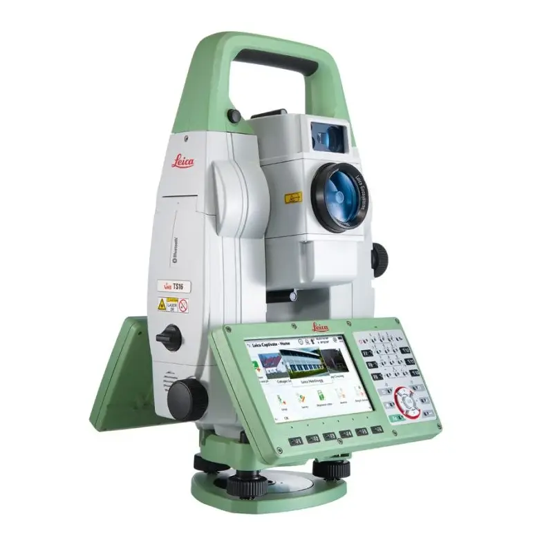
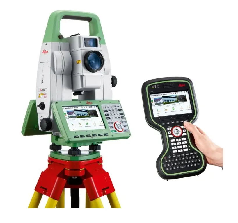
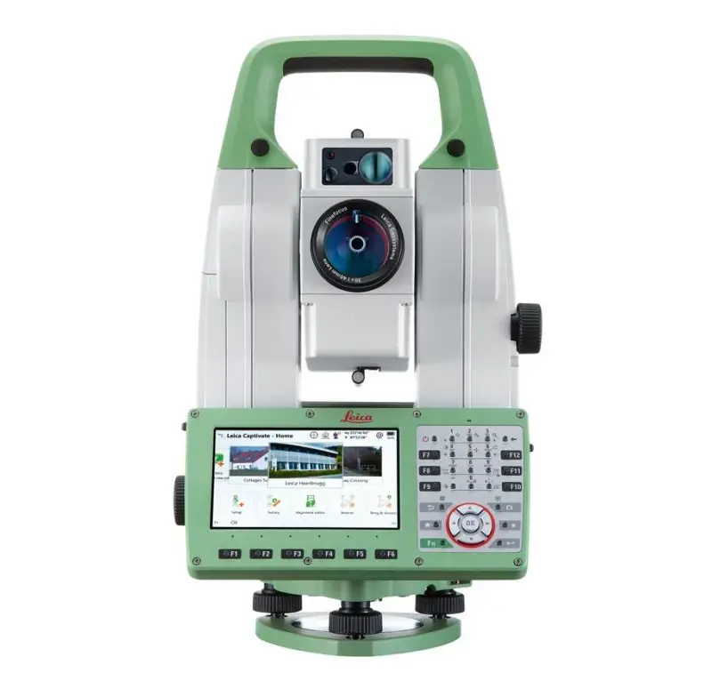
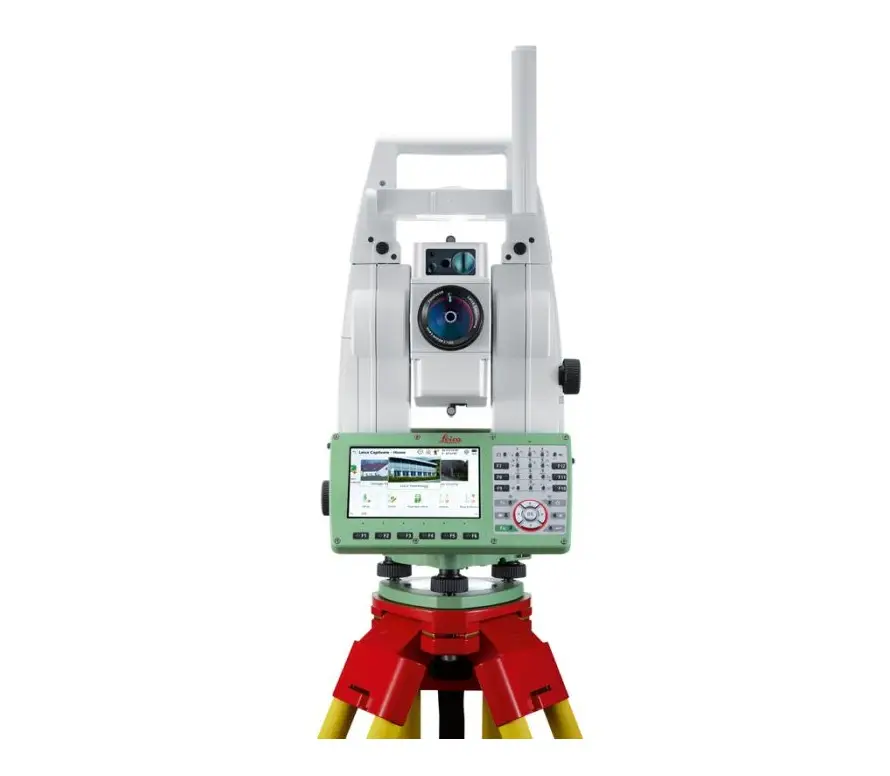
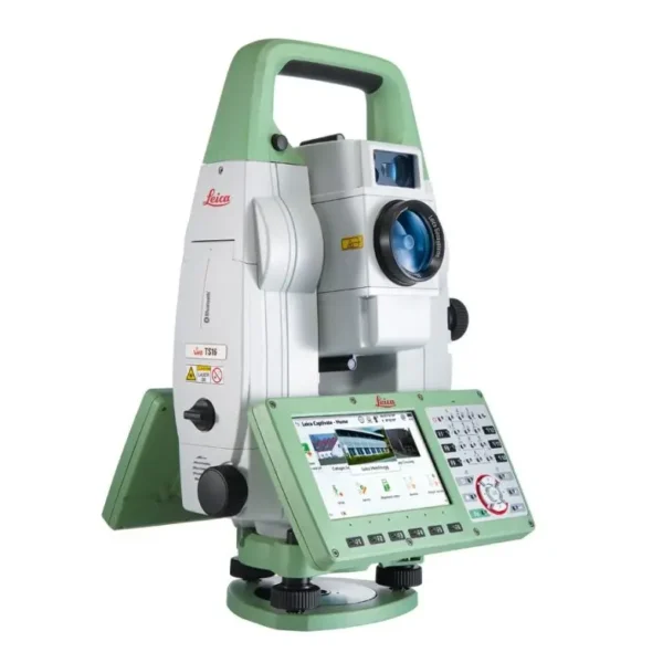
Leica TS16

The Leica TS16 is a high-precision robotic total station that delivers rapid, accurate measurements with advanced tracking performance. Built for demanding surveying and construction workflows, it combines robust field performance with intuitive control options for enhanced productivity.

  • Self-Learning ATRplus: Automatically adapts to site conditions like rain or fog, staying locked only to your prism while ignoring distractions.
  • Leica Captivate Software: Transforms complex measurement data into workable 3D models with an intuitive, touch-based interface.
  • AutoHeight Measurement: Sets the instrument height instantly with a single button press, removing manual tape errors.
  • DynamicLock Technology: Continuously tracks and re-locks onto moving targets without requiring the operator to stand and wait.
  • Imaging-Assisted Surveying: Features a 5MP overview camera for remote aiming and high-resolution site documentation.

Enquire about hiring or buying this product. You’ll be contacted by one of our Sales Team.

Adding one of these to your enquiry?

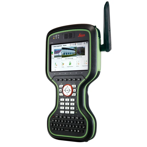
Leica CS20 Controller

Leica CS20 Controller

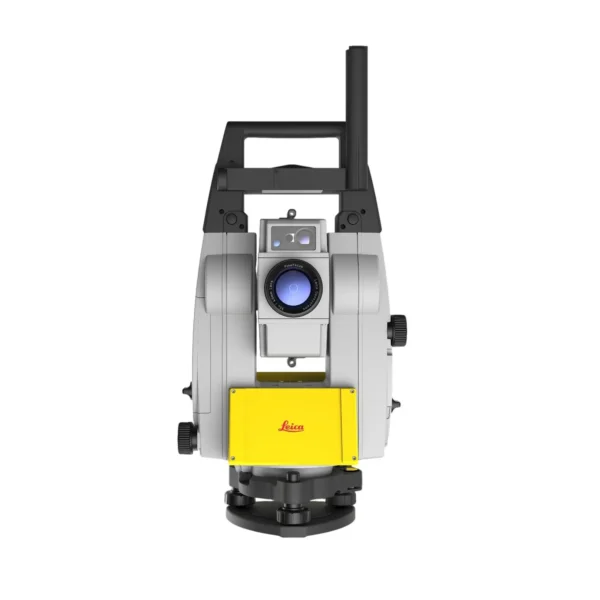
Leica iCON iCR80

Leica iCON iCR80

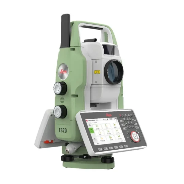
Leica TS20

Leica TS20

Leica TS16

Full Description

FAQs

Leica TS16
What does “self-learning” mean in the context of the TS16?
The TS16 uses ATRplus technology, which allows the instrument to “learn” the environment. It automatically adjusts sensor settings for site conditions like rain or fog and intelligently ignores irrelevant reflections, such as high-visibility vests, to stay locked exclusively on your target.
Leica TS16
How does “DynamicLock” improve workflow on a busy site?
DynamicLock is a premium feature that allows the TS16 to “catch” a moving prism without the operator standing still. The laser beam fans out and automatically locks onto the prism as you walk through its path, saving significant time during stakeouts compared to traditional methods.
Leica TS16
Can the TS16 be used for high-precision traversing?
Yes, the TS16 is a top-tier instrument for site control. When combined with Leica Captivate software, it offers dedicated “Sets of Angles” and “Traverse” apps. Its high angular accuracy and stable quadruple-axis compensation make it ideal for closing complex traverses with millimetre precision.
Leica TS16
How does the “PowerSearch” function work?
If the instrument loses its lock, PowerSearch rotates and emits a vertical laser fan to find the operator in seconds. As soon as it hits a 360-degree prism, it immediately switches back to ATRplus tracking, ensuring that losing line-of-sight is only a minor, temporary pause in work.

Leica TS16
What is the “Imaging” version (TS16 i) used for?
The “i” model features a 5-megapixel overview camera for “image-assisted surveying.” You can tap a point on the controller screen to turn the instrument instantly to that location, and capture geo-tagged photos of the site for documentation and “as-built” verification.
Leica TS16
Is “AutoHeight” standard on the TS16?
Yes, the TS16 includes a built-in laser that measures the instrument’s height from the ground point at the touch of a button. This eliminates manual measuring errors and ensures vertical data is perfectly calibrated from the start of the shift.
Leica TS16
How does the TS16 integrate with the “Leica AP20 AutoPole”?
The TS16 is fully compatible with the AP20 AutoPole, which allows for prism tracking even when the pole is tilted. The system automatically corrects height and coordinates, making it the ultimate setup for surveying in areas where a perfectly plumb pole is difficult to maintain.
Leica TS16
What is the reflectorless (Non-Prism) range of the TS16?
The TS16 uses Leica’s PinPoint EDM, typically in R500 or R1000 configurations. This allows for accurate measurements of building corners, bridges, or dangerous areas up to 1000 metres away without the need for a physical prism.
Leica TS16
How does the “LOC8” system protect my investment?
LOC8 is an integrated theft deterrence and fleet management tool. It allows real-time location tracking and the ability to remotely “brick” the instrument via an app if stolen. Geofences can also be set to alert you if the instrument leaves a specific site boundary.
Leica TS16
Why hire the Leica TS16 from PQS Survey Ltd?
We supply the TS16 as a complete “One-Man Robotic Kit,” including the CS20 controller, 360-degree prism, carbon fibre pole, and heavy-duty tripod. All units are maintained by Leica-certified technicians and include a fresh calibration certificate for total project reliability.